Hike

Little Si

Little Si Trail

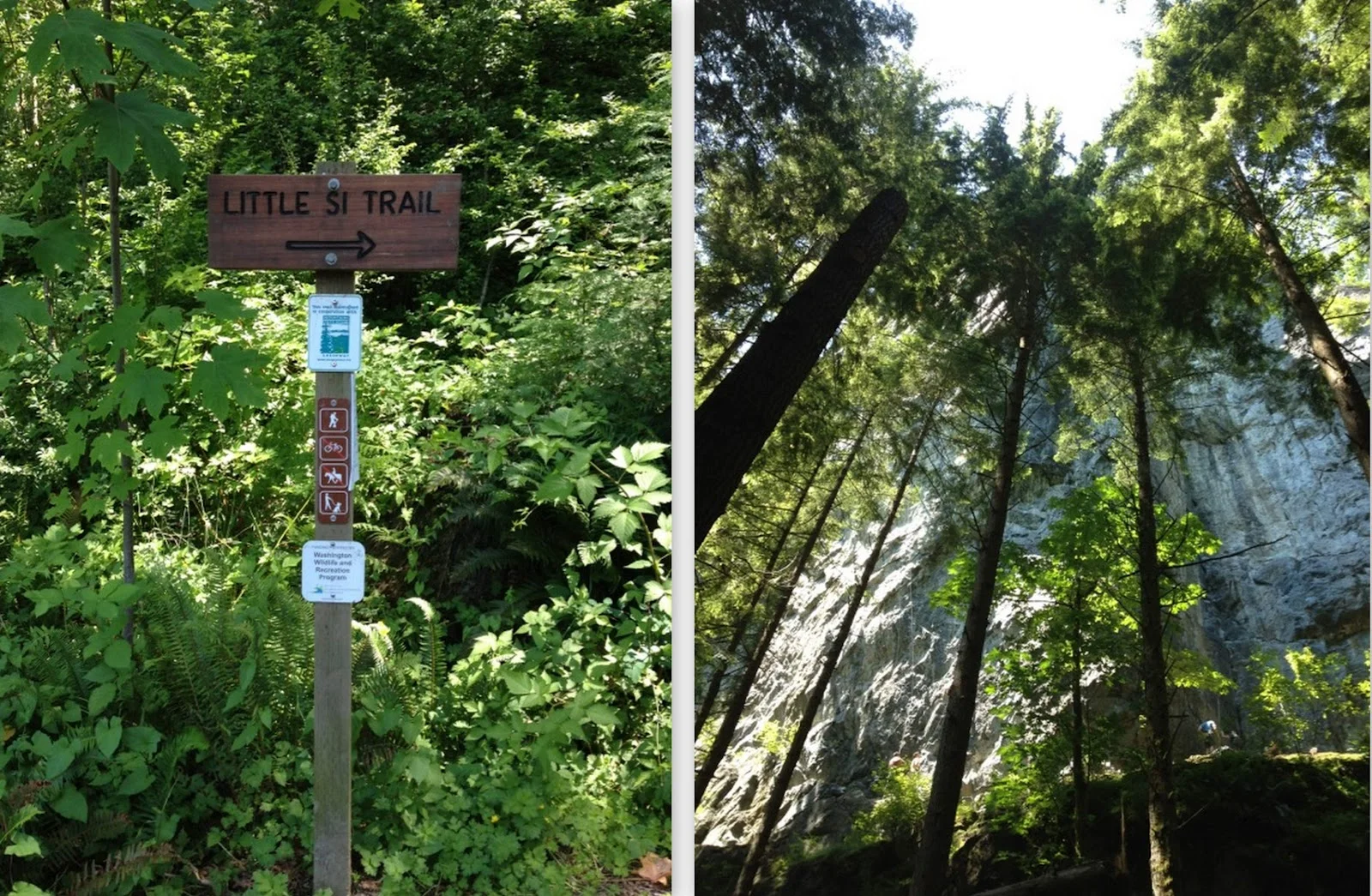
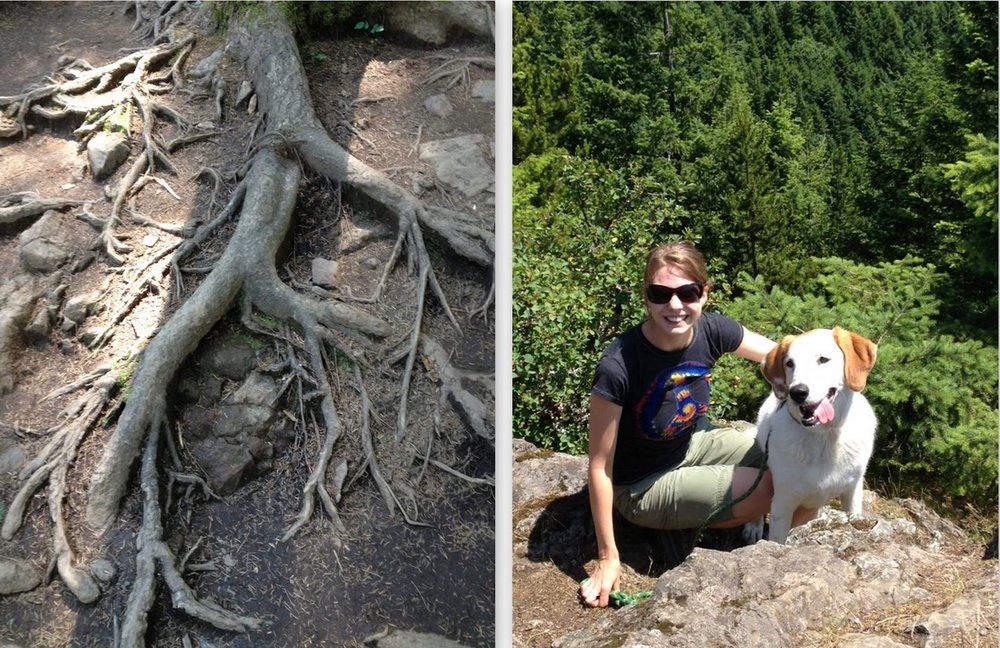
Little Si is the smaller companion of the much more challenging and ominous Mount Si. Little Si is more our style - takes about 3-4 hours, a solid 4.7 miles, and doesn't require you to pack a meal to keep from turning into a monster halfway through. It's also relatively close to Seattle, so you don't spend too much time in the car getting there. 

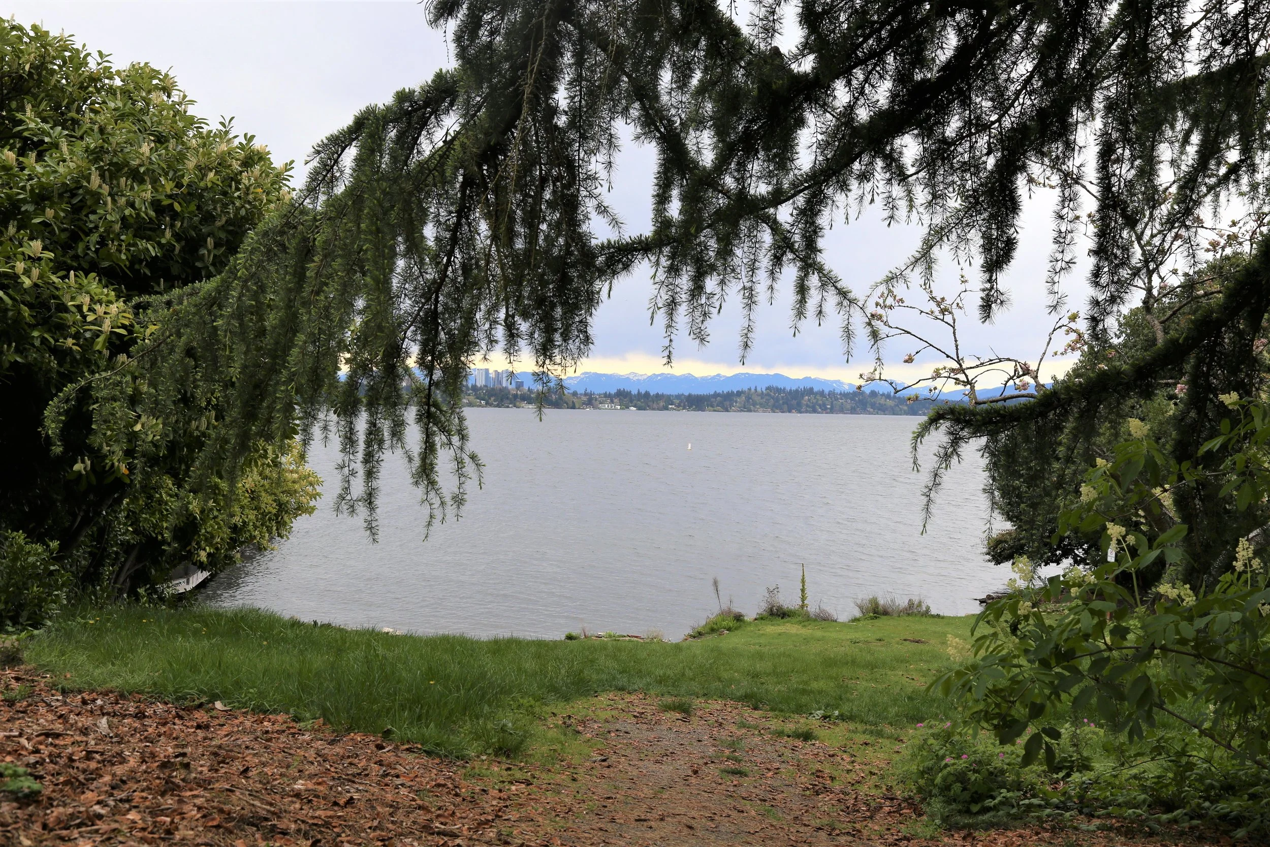
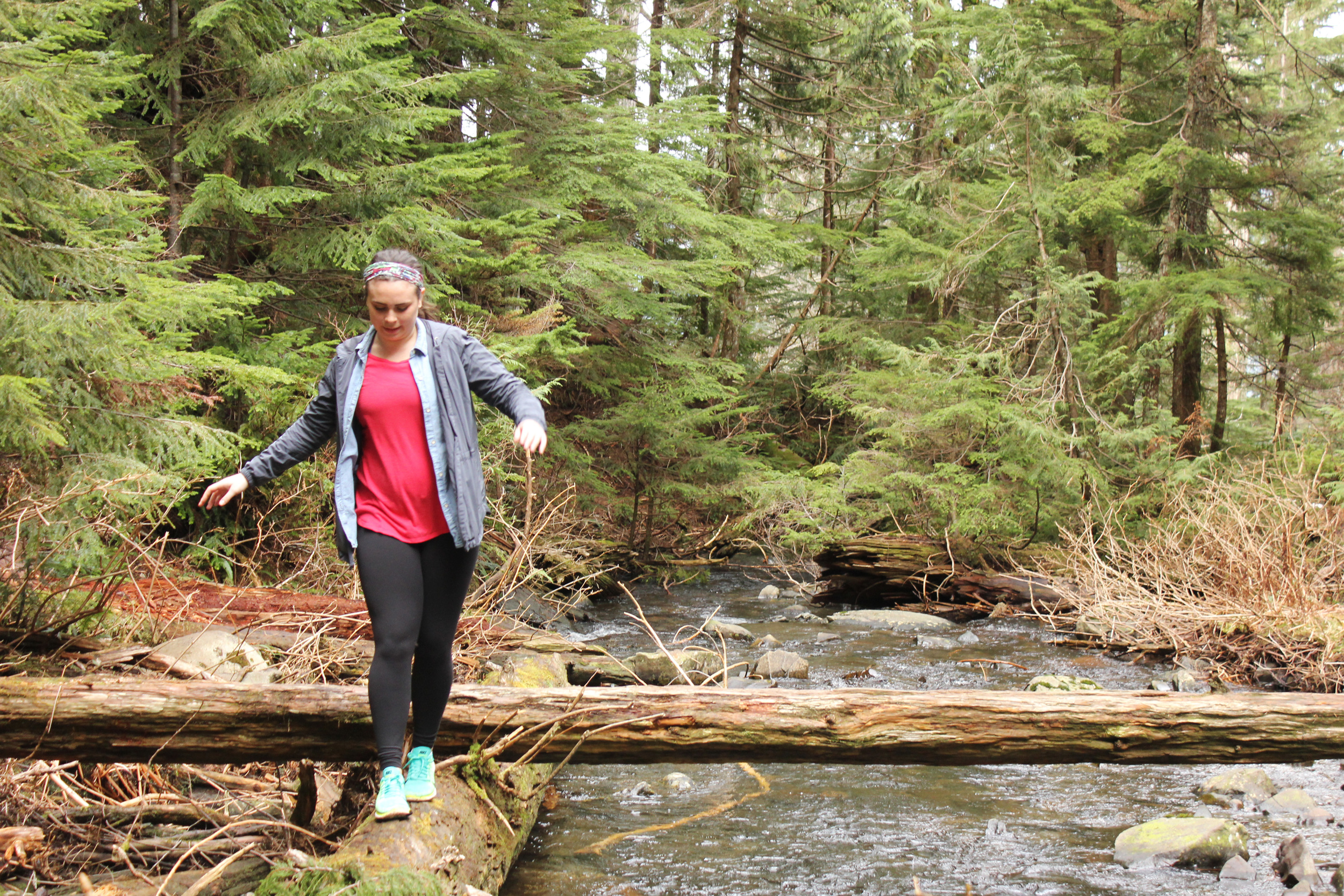
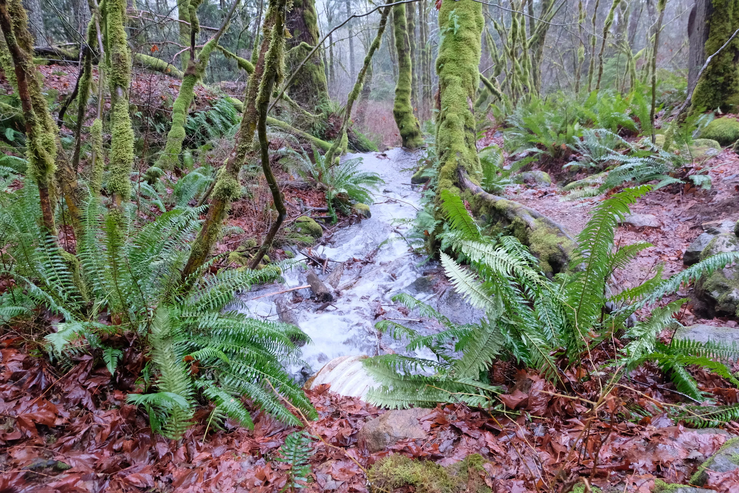
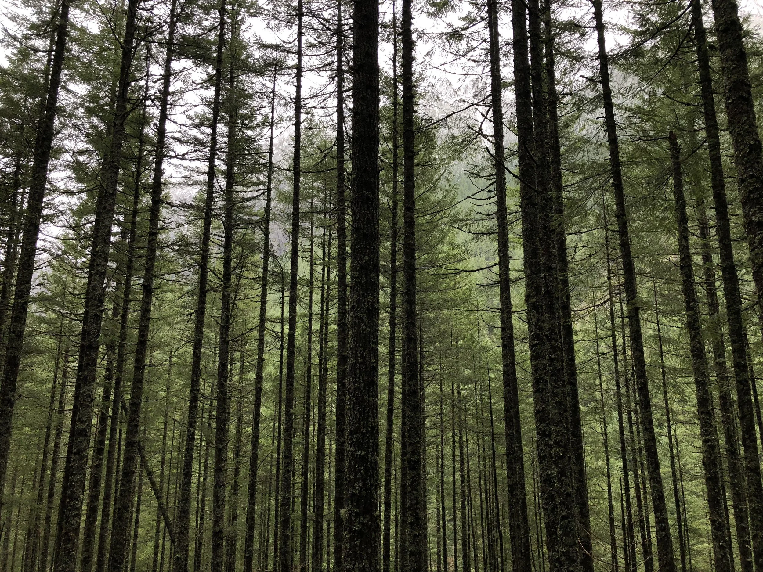
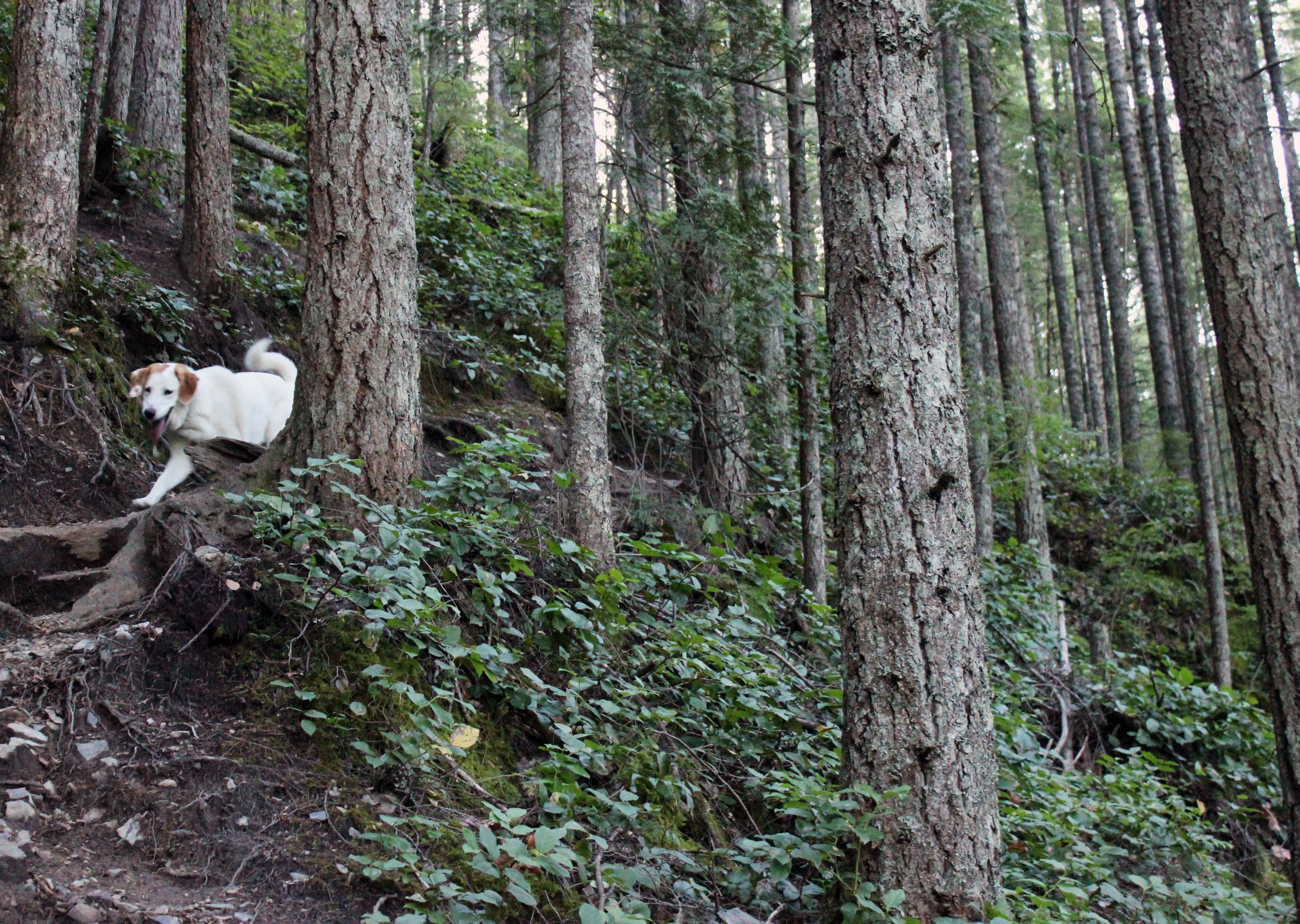
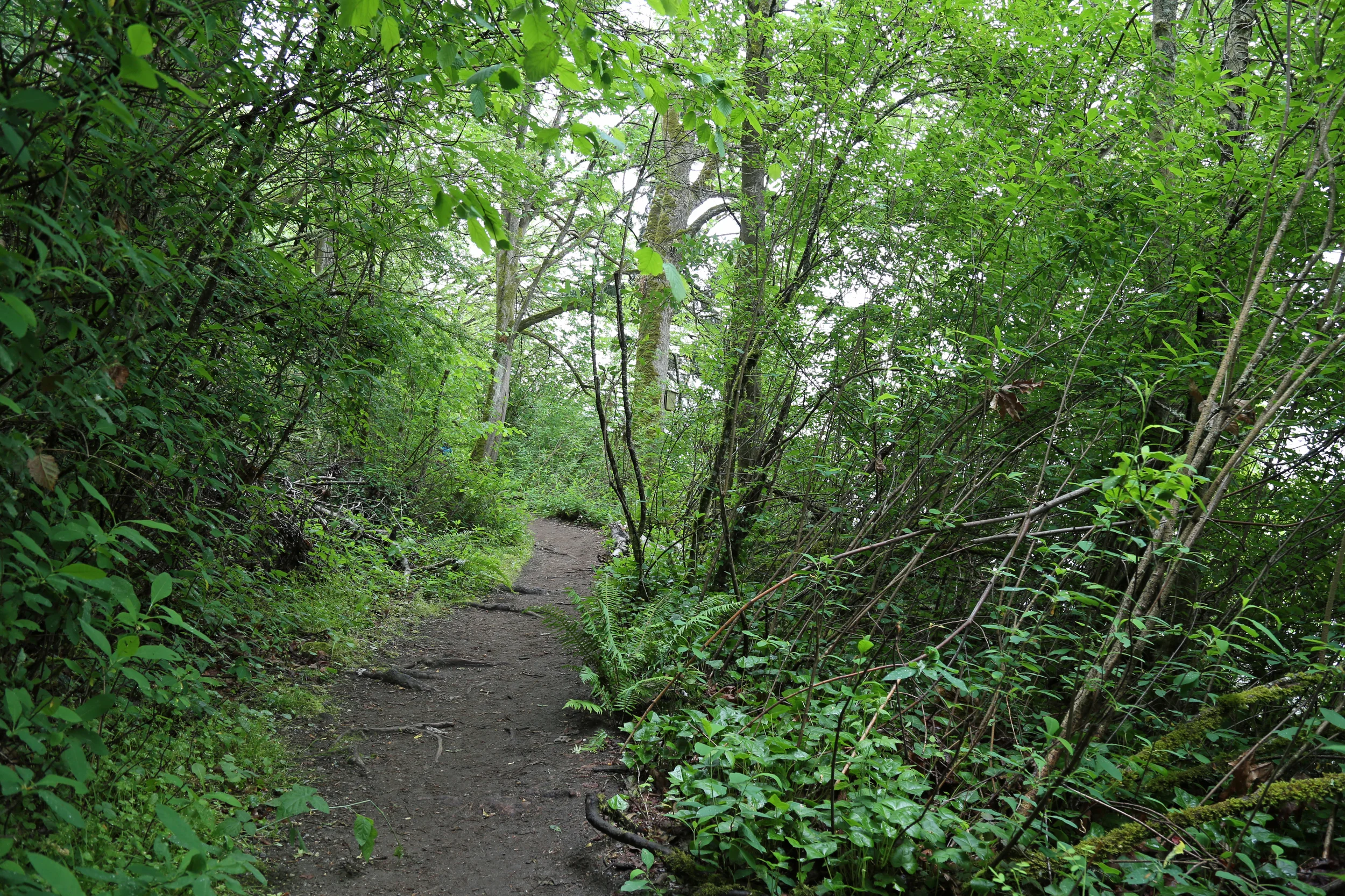
Little Si is great year round - it is fairly protected from the elements so when we did it in January we stayed pretty dry even though it was raining most of the hike. The trail is well kept and offers great checkpoints along the way to keep you entertained, including rock climbers doing some scary climbs on the cliffs or pretty creeks running through the trail. 

The hike is rated moderate on WTA.org, but we think it is fine for beginners. There are a few switchbacks, but those are few and far between on this hike, with the majority of the trail being moderate inclines that will keep your blood flowing, but you won't be keeling over from exertion. The very end is tiring, but the reward of the views at the top will keep you going! 

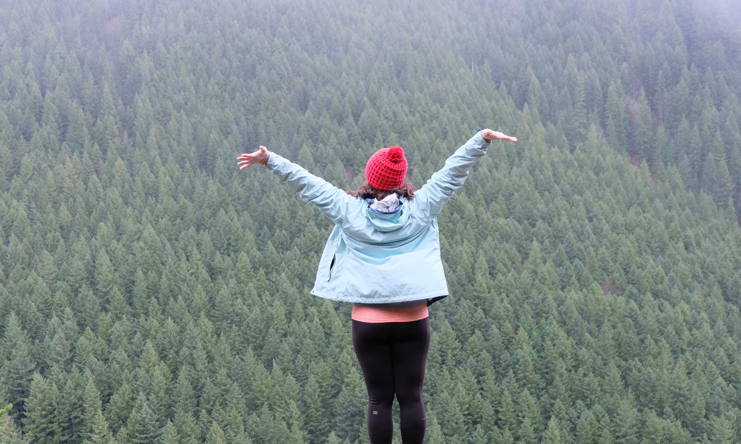
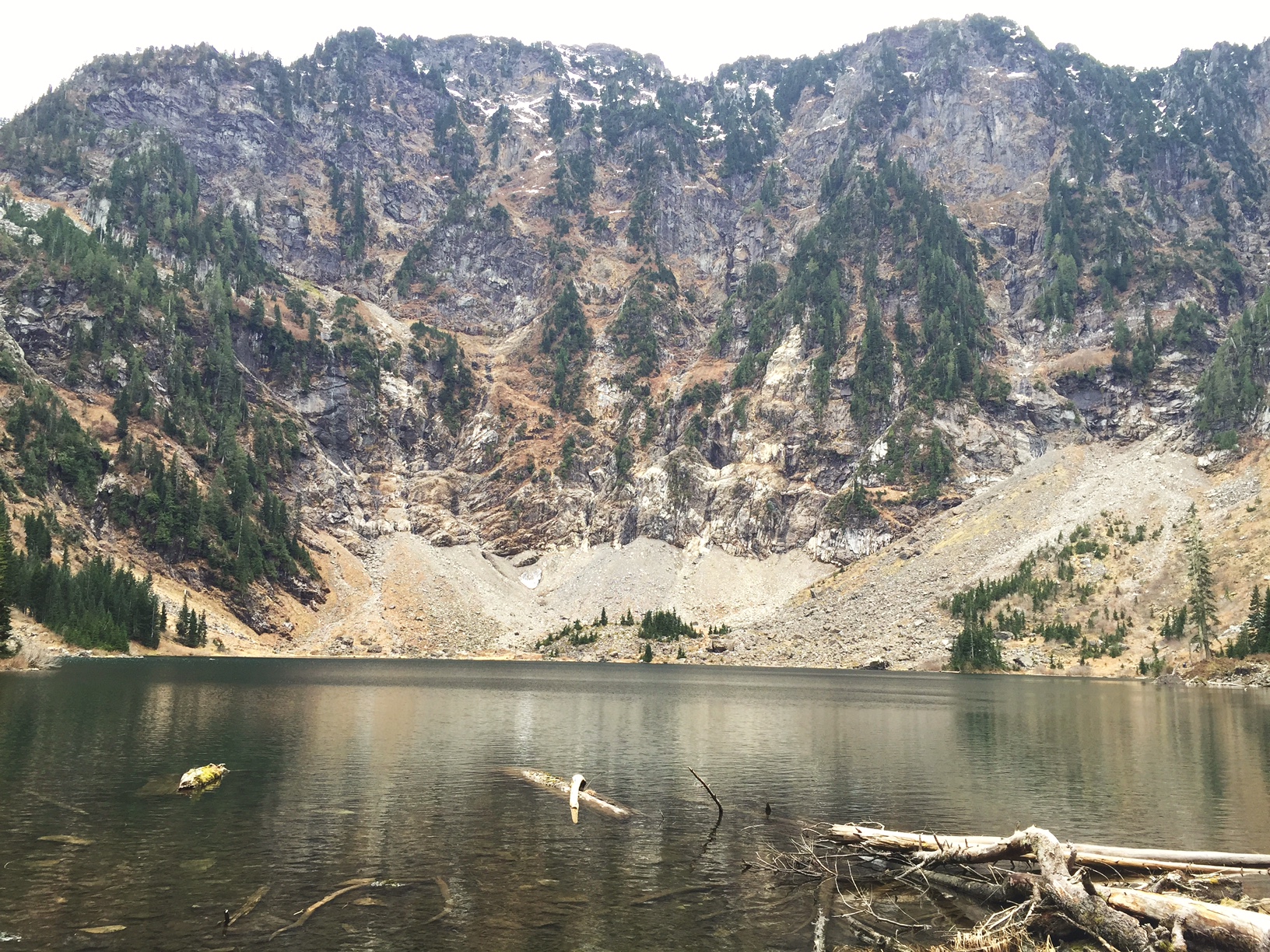
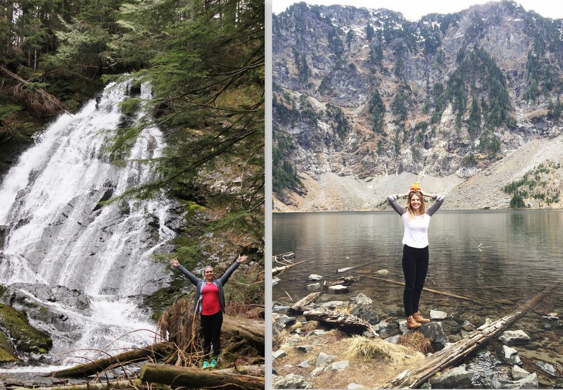
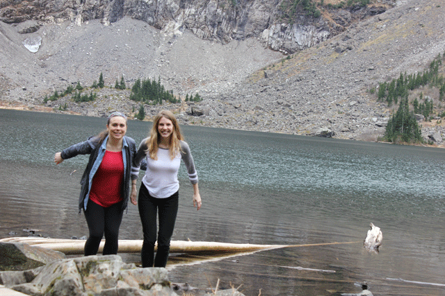
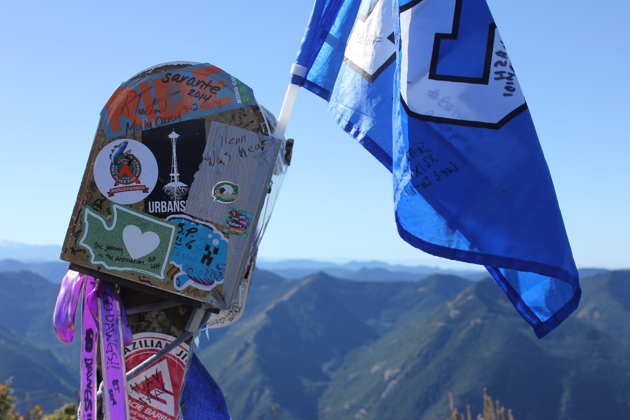
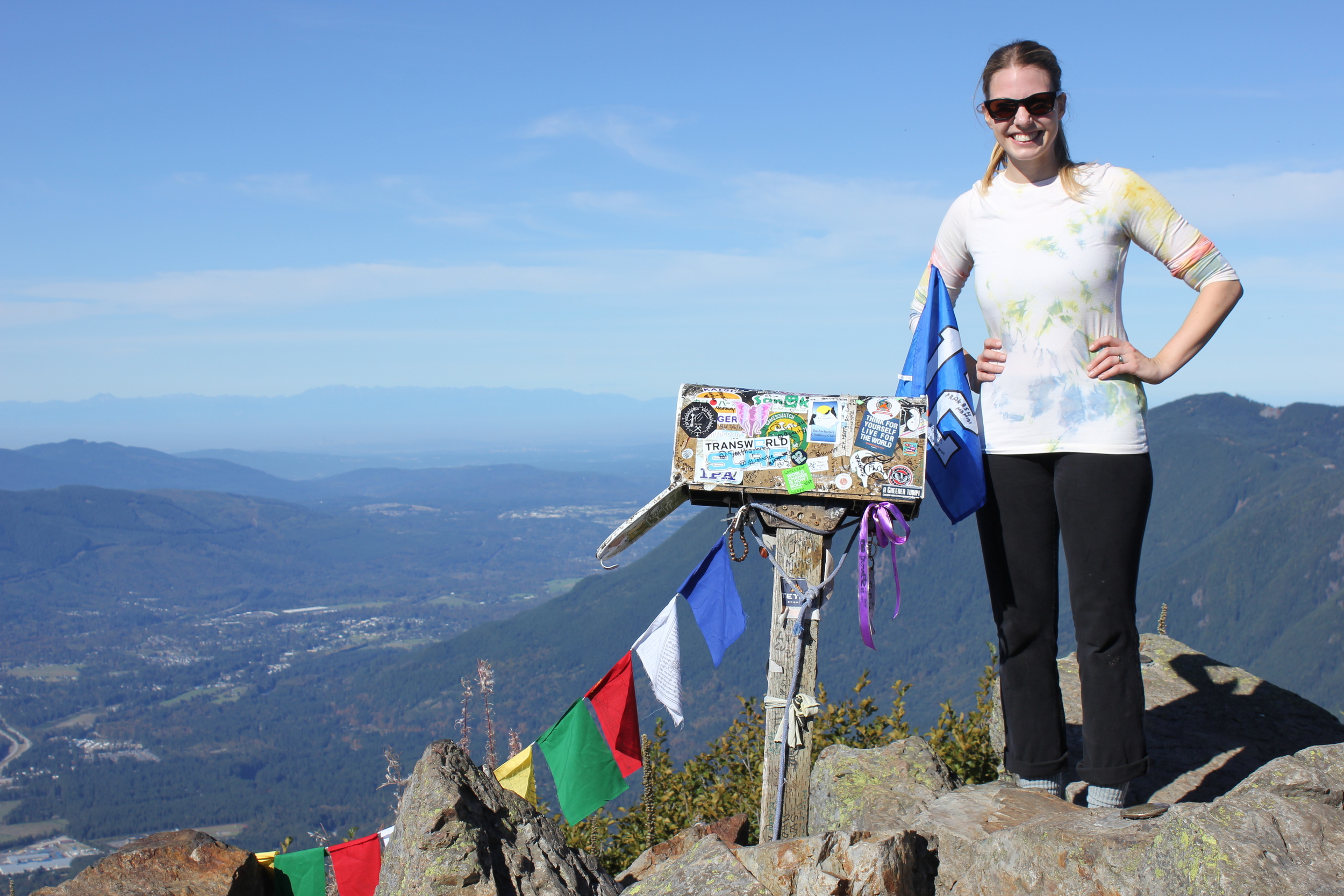
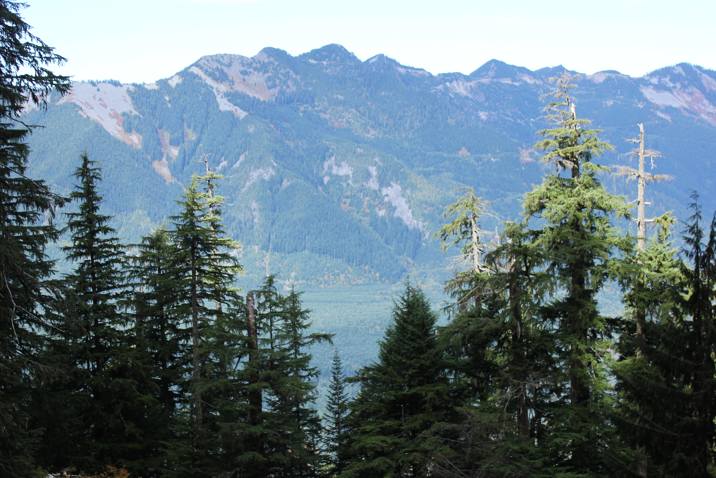
Once you get to the top there are two viewpoints, one to the left of the trail right as you come out and then another a bit farther up that allows you to see a more 360 view of the area. Check out both, but the first viewpoint is the truly stunning one, with Mount Si looming above you. 

Check out the trip reports before you go at WTA

Happy Hiking! 

Little Si Moss
Little Si creek
IMG_4492.JPG
Trees Mount Si

Mailbox Peak

It's true we are no strangers to hard hikes (see: Grouse Grind), but we wouldn't say we exactly seek them out. What we do love here at Rain or Shine Guides and what we WILL seek out is weird stuff (see: Hat N' Boots). When we heard there was a 4,800 foot+ mountain peak with a mailbox installed on it, we decided, yes, that's weird and we must see it. It didn't matter that Mailbox Peak is arguably one of the hardest hikes in the Snoqualmie area. Weird stuff is always worth it.

Our office dog, Maggie, crushed the trail

Our office dog, Maggie, crushed the trail

Nobody knows exactly why a longtime letter carrier decided to install a mailbox at this particular mountain, but it is what gives this peak its name and is what made it famous. There are two ways to get to the top of the mountain. You can go the old way, which is so steep it's considered a vertical incline, gaining almost all of that 4,800 feet in 2.5 miles. Fair warning now...it's unrelenting. It's torture. It will make you call your Mom crying. The trail will start with a well worn path but quickly becomes a mess of trees, and you must follow the white diamonds stapled to the trees to find the rest of the way to the top. Your other option is the new trail, which was built not too long ago as a result of all the injuries and rescues that were occurring on the old trail. So, why would you even consider the old trail, you ask? The new trail is nothing but a sea of switchbacks and will take you over twice the distance (9.4 miles roundtrip). We decided to take the old trail up and the new trail down, and this worked out well. It cut the distance a bit, but felt safer overall. No matter what option you take, remember to take your time. Your quads, knees, back, calves and sanity will thank you.

When you do finally reach the top, give yourself a pat on the back, crack open one of those beers you remembered to pack, and take in the 360 degree panoramic views.

Insider tip: People leave all sorts of interesting things in the mailbox. It's fun to bring a small token with you to leave or to swap out for something different. We brought a Marshawn Lynch themed poker chip because nothing is more beast mode than this hike. Also, don't forget your Discover Pass!

Hidden Gems Northwest: Bastyr University + Saint Edward Park

Welcome to Bastyr

Welcome to Bastyr

Campus details

Campus details

Recently the sun has been shining more and our deprived Seattle brains have been genuinely freaking out to be outside soaking up that Vitamin D. Which leads us to exploring new things. Which lead us to Bastyr University! You may not know about this small university northeast of Seattle, but you should! It is nestled up against Lake Washington and because it is a university that educates on holistic medicine their campus is refreshing and in touch with the nature that surrounds it. 

Our recommendation is to go visit on an empty stomach, you can visit the school cafeteria (trays and all!) and get lunch. The cafeteria includes a large salad bar, hot items, baked items and packaged snacks (they also update items daily and you can see that here). The great thing about the food is that it’s all healthy and all of the dishes list out every ingredient that goes into it. Some of the food ingredients are harvested from the campus’ organic vegetable and herb garden and what isn't grown there is shown to you on a board in the cafeteria that depicts the location of the farms where all the other ingredients come from! 

A bulletin board in the cafeteria tells you what farms supplied your food.

A bulletin board in the cafeteria tells you what farms supplied your food.

After you are nice and full head out to the grounds. They have an incredible herb garden with over 350 herbs. This is where they grow a lot of the herbs they use to make medicines on campus. 

Bee Balm is used to treat colds, headaches, and nausea.

Bee Balm is used to treat colds, headaches, and nausea.

Along with the herb garden they also have a relaxing courtyard near the dining common where you can sit and have thoughtful thoughts about things. If you are running low on deep, life questions that day there is also a turtle pond for you to enjoy with over 20 turtles.. and who doesn't love turtles??

Bastyr's turtle pond

Bastyr's turtle pond

After you finish up on campus you can walk into Saint Edward Park, which borders the campus. This 316-acre park has a ton of walking trails (most under 1 mile in length) that lead you down to Lake Washington. What really sets this park apart from others in the area is the old Catholic Seminary that sits on the grounds. This stunning old building is surrounded by picnic tables and can also be rented out for events! Be sure to bring your Discover Pass if you want to visit the park (or you can purchase a day pass for $10 in the parking lot).

Welcome to Saint Edward Park!

Welcome to Saint Edward Park!

The Catholic Seminary, which sits on the park grounds.

The Catholic Seminary, which sits on the park grounds.

Seminary details.

Seminary details.

Picnic tables line the grounds.

Picnic tables line the grounds.

Saint Edward park walking trails.

Saint Edward park walking trails.

PNW Hikes: Lake Twenty-two

You know those hikes in the Pacific Northwest that make you feel like you are in some sort of theme park that perfected the experience? Lake Twentytwo is one of those hikes. It is incredible. 

This time of year is a really nice time to head over. The trail starts near Granite Falls, WA, in the North Cascades and is classified as "moderate" for hikers, which we would agree with primarily because it is a bit longer, but it isn't actually very steep or strenuous. You can take it at your own pace, but if you are like us you will want to make sure you don't forget snacks (snacks should just be a constant every day in life). The trail to the top has waterfalls, it has dense moss and greenery, it has rock fields (is there a technical term for this? probably), and ample plants to identify for all you botanists out there. Once you arrive at the top you have a stunning view of Lake Twentytwo and Mount Pilchuk. We recommend giving yourself a pat on the back when you arrive with some Bandit boxed wine (yup, classy ladies writing this blog).

Don't forget: Northwest Forest Pass required. If you don't have one and you are planning to hike a lot, definitely invest in one. You can find more info here.

Last tip, we LOVE Washington Trail Association's hike summaries. We usually just skip to the bottom and read the trip summaries by hikers who have been out in the last week or two. That will give you the most up to date, accurate information about trail conditions, etc.